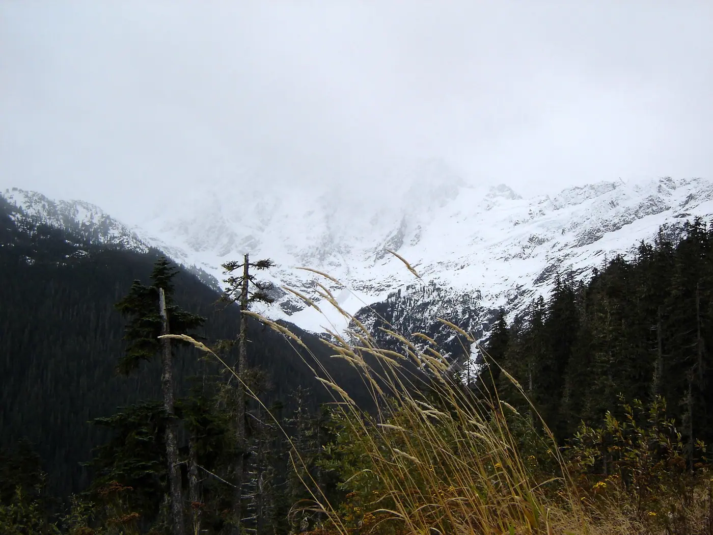

At Mt Baker, we found at least 1 place to stay within 5 miles of a lift, too far to walk in ski boots. The closest we found is Mount Baker Lodge, about 29 minutes on foot from Chair 2.
In summer Mt Baker has 8 trailheads within about 4 miles, Highwood Lake 0.8 miles from the main base. Mount Baker Lodge is 950 ft from a trailhead as the crow flies.
- 8lifts on the map
- 47mapped runs
- 1,480 ftvertical, lowest lift to top
- 5,100 fthighest point mapped
- 8trailheads within 4 mi
- 0.8 mito the nearest named lake
Places to stay, closest first
Condo complexes and rental homes are often missing from the open data we measure, so the real number near the lifts is usually higher. The mountain's own lodging pages list them.
A few links on this page earn us a small fee when you book. You pay the same price either way. Thank you!Booking links may earn us a fee. Thanks! How we earn
Narrow it down Counts update as you choose.
1 place to stay
- 0.4mi to a lift950ft to a trail
Mount Baker Lodge
Hostel · WA- To Chair 2: about 29 minutes on foot, by a mapped walking route
- To the nearest trailhead (Picture Lake Path Trailhead): 950 ft as the crow flies
Summer at Mt Baker
Read from OpenStreetMap; distances are straight-line from the main base. What runs in summer, and when, is up to the mountain: check its own calendar.
- Nearest trailheadsPicture Lake Path Trailhead (0.9 mi), Panorama Dome Trailhead (1.0 mi), Bagley Lakes Trailhead (1.1 mi)
- Lakes nearbyHighwood Lake (0.8 mi), Picture Lake (0.9 mi), Sunrise Lake (1.0 mi)
The mountain in winter
Counts come from the map, which can lag behind a new lift or a renamed run.
- Runs by difficulty on the map9 easier, 27 more difficult, 11 most difficult
- Cross-country (Nordic) skiing nearbySalmon Ridge Sno-Park (4 mi, 11 mi of trails)
Good to know
How many places to stay are within walking distance of the lifts at Mt Baker?
We measured 1 place to stay around Mt Baker in open map data. None has a walk to a lift we can vouch for; 1 is within 5 miles as the crow flies.
Is Mt Baker worth a summer trip?
The map shows 8 trailheads within about 4 miles; Highwood Lake 0.8 miles from the main base. Lift-served biking and summer rides depend on the operator's season, so check its site for dates.
How high does Mt Baker go?
The highest point on our map is about 5,100 feet, and the lowest lift starts near 3,630 feet, a drop of about 1,480 feet. Elevations come from the map's terrain model, so treat them as close, not exact.
How do you work out the minutes?
Along a mapped walking route from each place to stay to the bottom station of the nearest chairlift, gondola or tram you can walk to, at an easy pace. Where the map has no route we give the distance as the crow flies instead of minutes. How we measure.